Earth Has a Hidden Eighth Continent, 94% Underwater
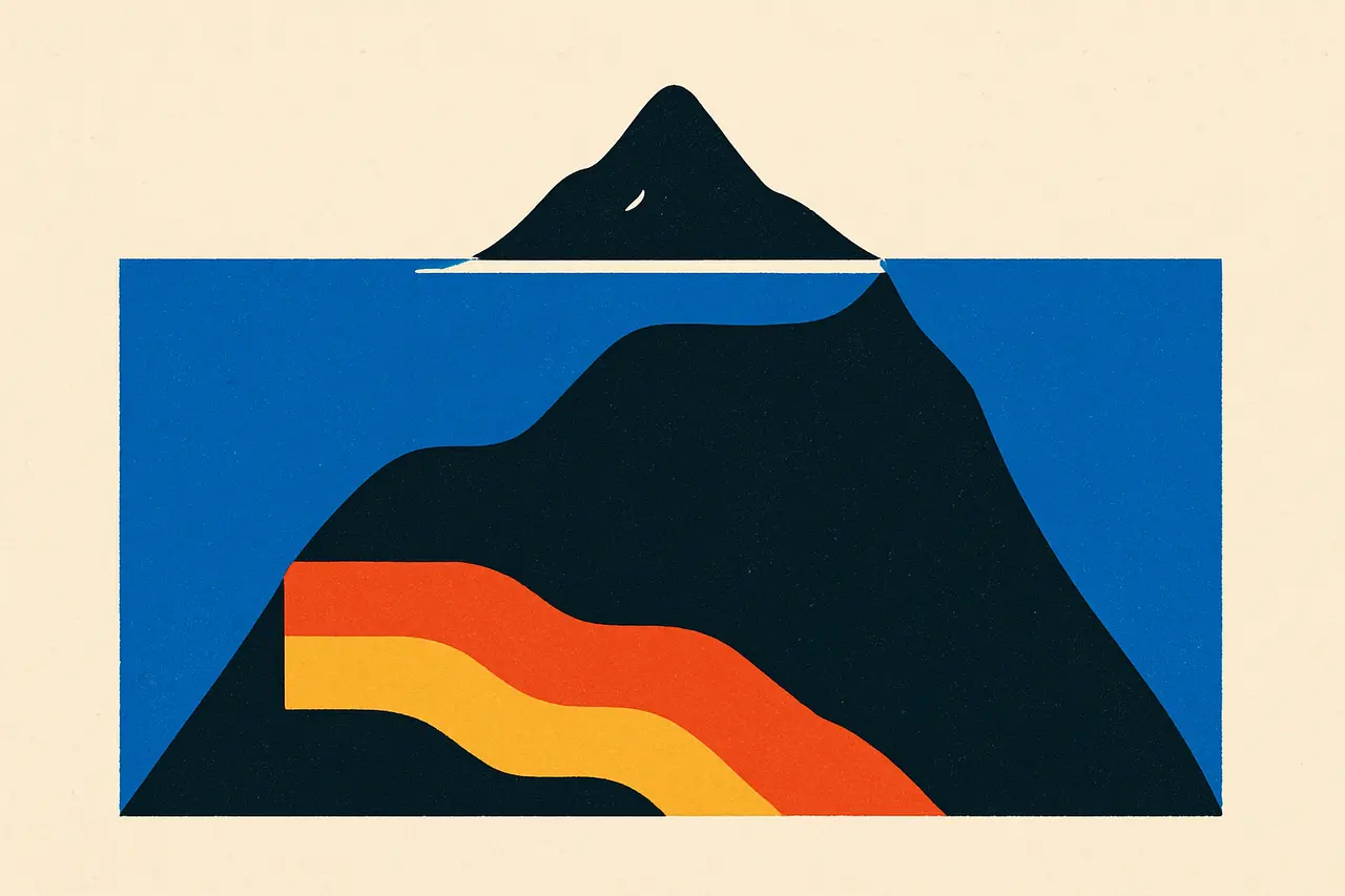
A 4.9-million-square-kilometre slab of continental crust hides beneath the South Pacific, with only New Zealand breaking the surface.
In 2017, a team of geoscientists made a striking case in the journal GSA Today: the southwest Pacific hides a previously unrecognised continent. They named it Zealandia (also called Te Riu-a-Māui), a continuous expanse of continental crust covering about 4.9 million square kilometres — roughly three-fifths the size of Australia.
The catch is that almost none of it is visible. About 94% of Zealandia sits below sea level, drowned beneath the Pacific. The slivers that poke above the waves include New Zealand and New Caledonia.
On the surface it looks like scattered islands. Geologically, it is one coherent landmass.
The researchers argued Zealandia ticks every box scientists use to define a continent — distinct elevation, varied geology, thick crust, and clear boundaries — qualifying it as Earth’s seventh-largest continental mass. Its highest point is Aoraki / Mount Cook, at 3,724 metres. Studying this mostly hidden slab helps geologists reconstruct how the ancient supercontinent Gondwana stretched, thinned, and finally broke apart.
Sources & references
2 referencesWell-established. Corroborated by 2 independent sources.