The Day a Line of Latitude Became the US-Canada Border
On this day · 20 October 1818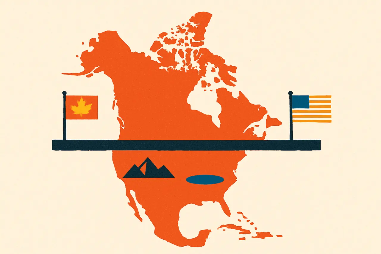
In one London signing, two former enemies agreed to let geometry settle a continent's worth of contested wilderness.
On 20 October 1818, British and American diplomats in London signed the Convention of 1818, the agreement that fixed much of the modern boundary between the United States and what is now Canada. Negotiated barely four years after the War of 1812, it marked a turn from open hostility toward a managed, durable peace.
The treaty’s most lasting clause drew the border along the 49th parallel of north latitude, running west from the Lake of the Woods to the crest of the Rocky Mountains. Rather than tracing rivers, ridgelines, or old claims, the negotiators simply chose a line of latitude, making this one of the world’s longest borders defined by pure geometry.
A single line of latitude would go on to separate two nations for thousands of kilometres.
West of the Rockies, the rival claims to the Oregon Country were left unsettled, with both nations agreeing to share it for ten years. That deferred dispute would simmer until the Oregon Treaty of 1846 finally carried the 49th parallel onward to the Pacific.
Sources & references
2 referencesWell-established. Corroborated by 2 independent sources.